 Blog EBE English Book Education


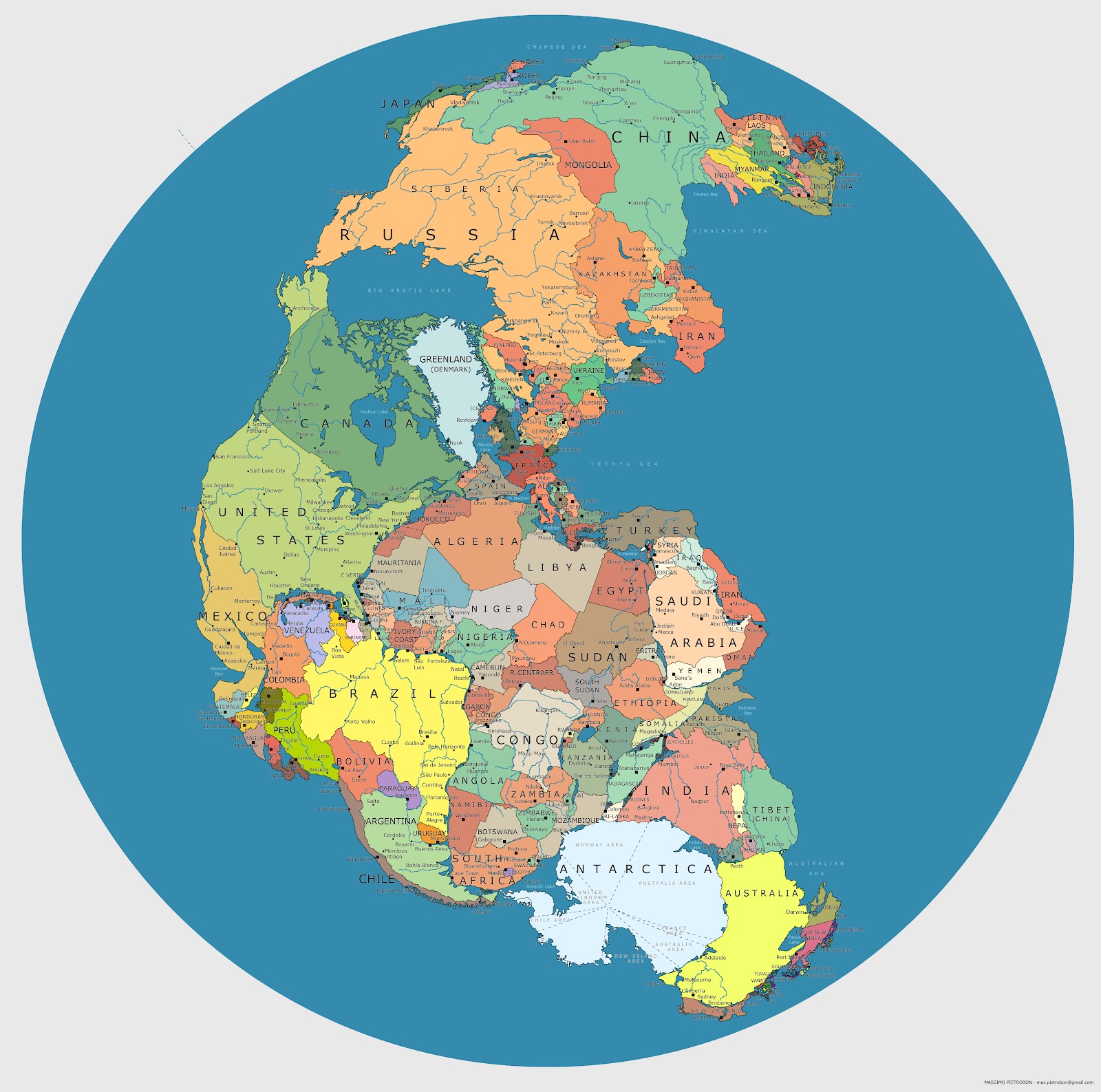
The supercontinent, Pangaea, formed approximately 270 million years ago during the Permian Period and started breaking apart 70 million years later, creating the continents we know and live on today.
Pangaea was a peopleless mass, but if you were to put today’s countries on that supercontinent, here’s what it may look like.
The map was created by Massimo Pietrobon as an experiment. Check out more of his maps here: http://vimeo.com/86116226
Source


